Tag Archives: Journey
August 23, 2012

Glen Helen

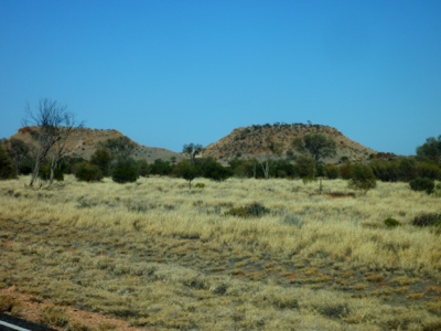
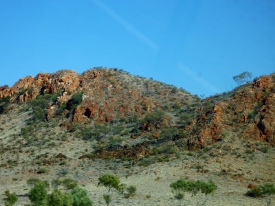
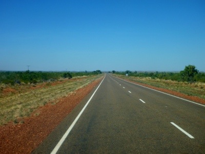
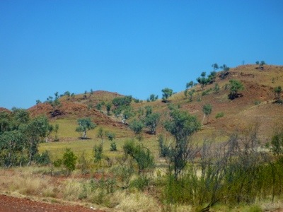
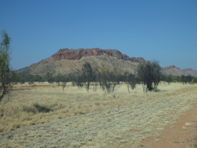
Finally we’re on our way to Glen Helen in the West MacDonnell Ranges. The road scenery is captivating with on the left jagged rocks and on the right rounded mountains that remains Marjo of Elephants and Rhinoceros’; big, round, and wrinkly.
20120824-195023.jpg

20120824-195108.jpg
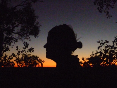
Glad she didn’t associate them with me or at least had enough self preservation to keep those thoughts to herself 😉 You can see me ponder though.

20120824-195207.jpg
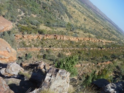
The road is hilly and has interesting stops. All not dog friendly though. We stop outside of the gate of Serpentine Gorge and I make the walk to the top with an astonishing view.

20120824-195339.jpg

20120824-195403.jpg

20120824-195441.jpg

20120824-195455.jpg
When I come back, Marjo utilized the time to do some art and Nossi made it clear that he finds that we have traveled far enough. We pretend not to understand him and continue onto Glen Helen.

20120824-195612.jpg
After more hilly roads and pretty hills we arrive at the campsite. A great location and view. First lunch and a little nap in the shade.

20120824-201010.jpg

20120824-200949.jpg
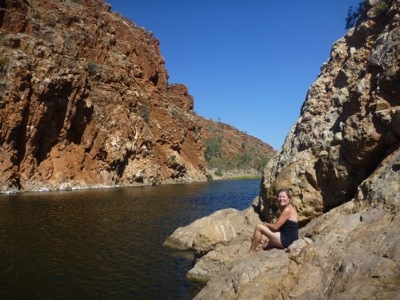
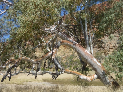
To escape the 34 celcius temperature and the blistering wind Marjo does the Gorge walk. Surprisingly a lot of – friggin freezin – water. Someone estimates 12 degrees, which is really fresh when the outside temperature is 34.
20120824-201344.jpg

20120824-201401.jpg

20120824-201413.jpg
Then we listen for a while when a group of campers make music around a fire. But decide that they need more practice and go and watch Bones on the iPad.

Another great day.

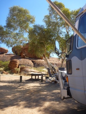
Then we wake up and the wind has turned. From the warm western wind to a colder south wind. The temperature is still nice, high 20’s but not too hot like yesterday. Also from our bus the rockface look brilliant. So we ponder.

20120824-201554.jpg
The main plus point is the water. After being in North West Queensland and Northern Territory for a while you really start missing water. Everything is red dust and the hygrometer has not shown anything but LO (which means that there’s not enough moisture in the air to measure). We start salivating with pictures of green grass and I can’t remember having cows as any of our forefathers.

Well, of course we decide we stay another day. Fixing the odometer, fixing the drawer in the back of the bus, de-icing the fridge, cleaning the bus (finally no dust on and in everything).

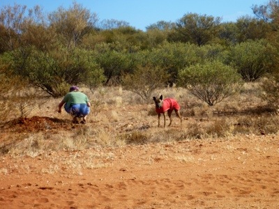
Also the dogs are having a great time on another walk and Nossi even did zoomies.

20120824-201839.jpg

20120824-201928.jpg

20120824-202001.jpg

20120824-202012.jpg

20120824-202035.jpg

Posted from Mt Zeil, Northern Territory, Australia.

August 21, 2012

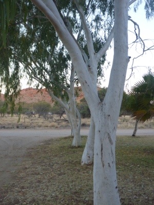
White Gums

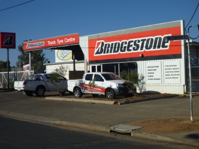
In the morning we pack up and leave before 9 so we’re well in time for our appointment with the Truck Tyre mob. We arrive there just before 11 and after a set of problems that show their incompetence we leave close to 5 pm.

20120824-192526.jpg
Meanwhile we have been able to do shopping, buy a new car battery, mail some post cards and do bank business. Highly dissatisfied with the Alice Springs Truck Tyre service we now lost our opportunity to go to Glen Helen and decide to stay at a camping 10 km out of Alice Springs in palace called White Gums.

The place is run by a grandma and her grad daughter (Rachel? Caroline?) who have a strange type of love and hate relationship. It’s kinda funny to watch and in the end we are able to get a site.

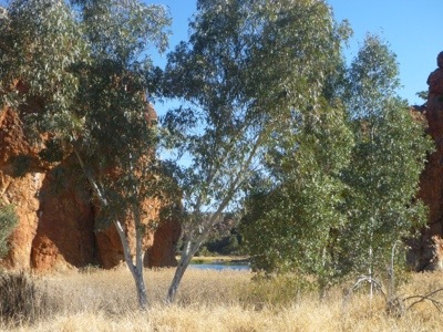
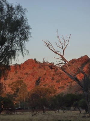
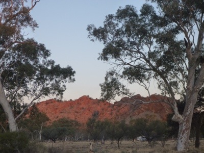
White Gums is located a few kilometer in the West MacDonnell Ranges and already the rock formations are beautiful.

20120824-192751.jpg

20120824-192806.jpg

20120824-192951.jpg
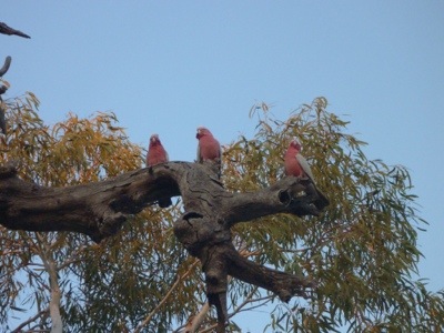
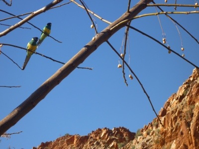
Also for the first time we encounter various types of multi coloured birds. Up to now we have mainly seen Kites, Eagles, Cockatoos and magpies.
20120824-193009.jpg

20120824-193102.jpg

Posted from Arumbera, Northern Territory, Australia.

August 19, 2012

Uluru at sunset

Well I got this tour from Joran and Christine for my birthday!
From the camping in Yulara, the AATKing bus picks me up at the bus shelter with about 25 other people already in the bus.
We drive the 20 minutes trip with lots of inside stories from the bus driver, who had a very hoarse voice.
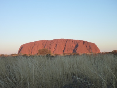
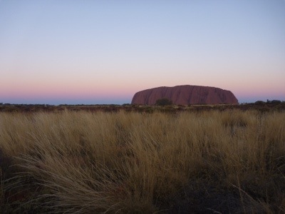
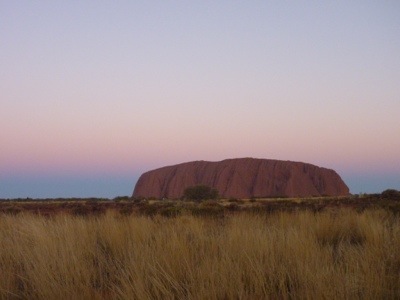
And there it is, The rock, Ayers rock or Uluru, and some tables with white table cloths and champagne and healthy nibbles.
We each got a camping chair from the bus driver and he mentioned the number of the bus, and that we have to be at that bus around 20 minutes past sunset.
I thought there is only one bus but ok I will remember the number!
Good thinking Marjo, because there were many more busses to come, with loads of Japanese people (it is holiday time in Japan at the moment).
I settled on my camping chair with my champagne and camera, and really focused on the color changing of the rock formation.
The woman next to me wanted the rock up side down through her champagne glass, I think she was a bit bored, because it took a while before it changed color.
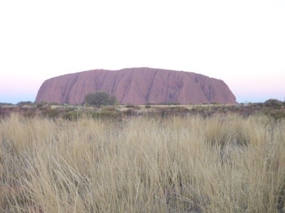
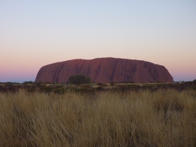
Some good pictures came out of that evening, mainly the rock changed color, not the sky so much.
I wished on a purple red orange yellow behind the rock disappearing sort of sky.
But hey, this night the sky was like this, and I am happy to have seen it!
Thanks so much Joran and Christine!
Lots of love,Marjo

20120821-183842.jpg

20120821-183902.jpg

20120821-183855.jpg

20120821-183908.jpg

20120821-183915.jpg

Posted from Ghan, Northern Territory, Australia.

August 19, 2012

Ayers Rock

That morning we can barely lift the doona as the thermometer shows 2 degrees. That’s very cold and lucky for us the sun rises at 6.45 and allows us to move around in the bus. The dogs don’t like it at all and stay under blankets until we say the word “dinner”. They don’t distinguish between breakfast and dinner. Food is food. Then we pack up and head south again with the idea to stop in Stuarts Well, a roadhouse with *free* unpowered camping. If that doesn’t attract good Dutch people then nothing will.
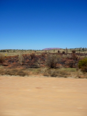
The road showed some Ayers Rock wannabe’s but we won’t get fooled.

20120821-184035.jpg
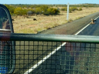
They even warn for camels here and we saw our first road kill with birds, and an eagle at that!

20120821-184134.jpg

20120821-184145.jpg
Marjo says I’m to dark talking about road kill and toilets so I’ll try and better my life. She is doing the final editing and will keep me honest.

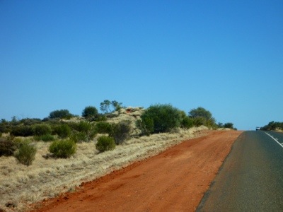
The dirt along the road is getting increasingly more red and even the bitumen itself turns a redder shade of pale.

20120821-184224.jpg

20120821-184239.jpg
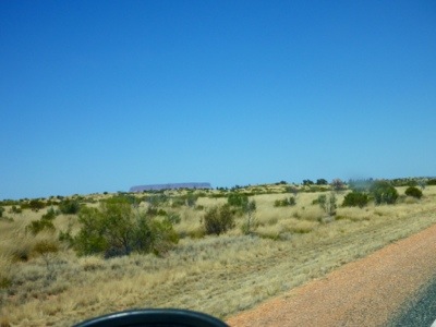
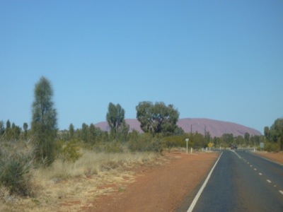
Then we suddenly turn believers……140 km from Uluru we see the rock already. It must have super powers to turn our eyesight so that we have laser vision of 140 kilometer, or does it?

20120821-184317.jpg
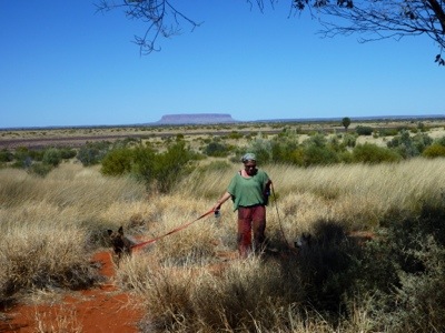
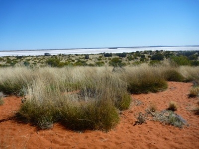
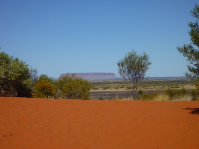
Then we get thrown back to reality when we arrive at Mt Connor lookout. It’s a kinda lookalike for Ayers Rock and our initial disappointment gets squashed soon when we see on the other side of the road a dry inland sea white with salt.

20120821-184353.jpg

20120821-184452.jpg

20120821-203405.jpg
We now have the fever though and decide to go on to Yulara and not stop in Stuart’s Well.

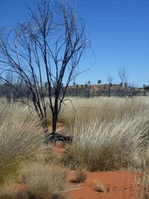
Then we try to capture the sheer beauty of the grass tijana (?) that seems to be the toughest grass that can withstand years of draught, fires and other onslaughts and still survive. It shines really nice in the sun but to convey that in a picture is another story.

20120821-184552.jpg
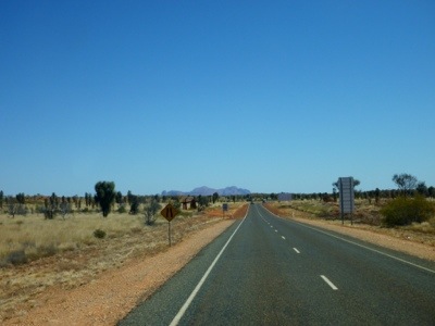
Then we get a first glimpse of “the red rock” as well as the Olga’s of Kata Tjuta.

20120821-184628.jpg

20120821-184641.jpg
We take a picture just before the turnoff to Yulara, the accommodation for Uluru and then Nossi finally settles. He was much better after the pheremone spray, still not his own self, but definitely more settled in the bus.

20120821-184718.jpg

20120821-184749.jpg
The camping is big and commercial. We stand next to a family from Queensland who cannot leave their sport at home so we can hear his rugby commentator on the radio. On the other side a German couple that visit the north for 5 weeks in a cramped 4 wheel drive (his words). They give some tips for visits like Litchfield and Nitmiluk. That seems to fit in our plans so we like them.

Then Marjo goes on a sunset trip that she will tell you all about in a different post. Nossi, Dotti and I see the sunset from a viewing point in the camping with about 20 other people and 3 dogs.

Then we turn in, expecting another cold night.

Posted from Yulara, Northern Territory, Australia.

August 18, 2012

Finke River

After Gemtree it’s back 68 km up the Happy Highway, oh apparently it’s called Plenty Highway, back to the Stuart Highway. In a magazine I read that Stuart was a guy in the 1800’s who explored the route to make a telegraph connection from Darwin to Adelaide. He was quite good for creating opportunities for people to settle along the route and also to establish harmonious relationships with the aboriginals. Apparently he didn’t fare that well himself. He was malnourished, suffered from gastro diseases and turned blind from navigating too much by looking at the sun. Then when he was not capable to work anymore the English government refused to look after him and he died in poverty, living with his sister.
Yeah….we didn’t like the story either, but now I’ve shared it with you, I feel much better. Thanks.

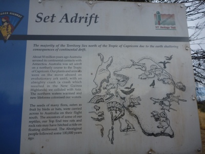
On a more friendly note, Marjo read a story at a rest area about the wording of Australia. Not sure how they worked that out as it all happened millions of years ago.

20120819-205553.jpg

Then we turn south towards Alice.

20120819-205800.jpg
There we stop for some petrol at reasonably normal prices and a vet check for Nossi. Since he went scuba diving in Port Douglas and put his head under he has been anxious in the bus. We treated his water ear when it happened but now every time we drive he’s panting and can’t get settled. The vet thinks he’s quite a nervous dog (hope she didn’t have to study very long to make that assessment) and that Valium might help. In addition we get DAP (Dog Appeasing Pheromone). That seems to be a scent secreted by mother dogs that makes puppies less anxious. We’ll try.

Then it’s further south. We drive past more hilly country.

20120819-210525.jpg

Then we arrive at Finke River. It’s a bit overstated as all the Northern Territory rivers we have seen are dry as a bone. This is clearly the dry season with sandy rivers, warm days and cold nights.
The rest area is actually not bad and extends behind the formal bitumen part. We park in the red sand and watch some nice sunset.

20120819-210757.jpg
This is actually the after-the-sunset picture. Marjo saw the nice sunset but went walking with the dogs and no camera. Meanwhile I was reading the Stuart-not-so-happy story and missed the whole shebang. So when she said if I got the sunset on camera, we decided to share whatever we still could capture.

Posted from Yulara, Northern Territory, Australia.

August 17, 2012

Gemtree

After an early morning of watching boulders turn red (a bit like watching paint dry or grass grow), we have lazy breakfast and a slow start. Marjo gives highlights of Eastern Australia to a youngish couple from Italy who are heading back to Brisbane from Devil’s Marbles so their trip can benefit from the highlights of our trip while I pack up. Despite doing everything s l o w l y , due to our early rise, we’re on the road by 9 am.

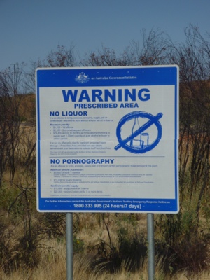
On the way we shed some weight. First we need to rid ourselves from our liquor and pornography. The NT folk are a restrictive bunch, but I guess everyone has read about the child abuse in aborigine communities related to alcohol consumption. Also we had to finish all our fruit to prevent fruit fly entering the region. As if the little cretin’s can’t fly there?

20120818-140314.jpg
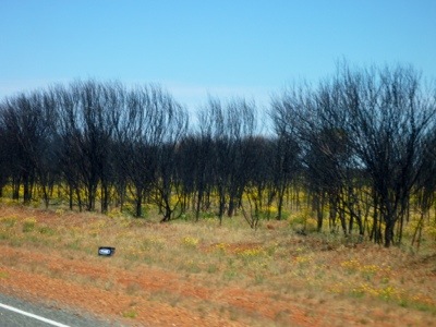
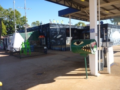
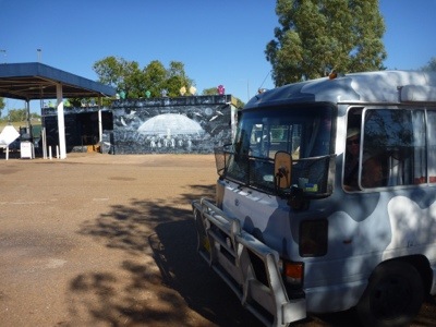
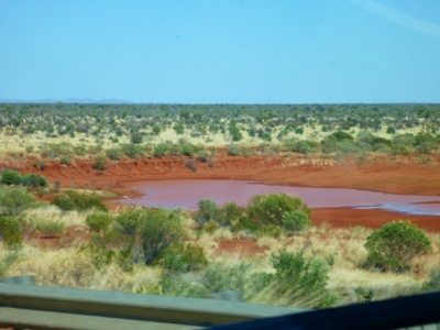
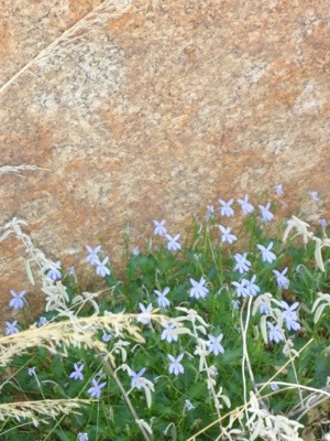
The road is more varied, providing some distraction from the monotone kilometers. First some nice red mountains, then a real UFO centre near Wycliffe Well, a deep red billabong and even yellow flowers! It being winter all we have seen is dull colors like brown, grey and flat green. It seems spring is upon us?

20120818-140458.jpg

20120818-140505.jpg

20120818-140523.jpg

20120818-140346.jpg

20120818-140431.jpg

We look at various camp options before Alice Springs and dismiss the rest areas as not dog friendly. Northern Terrorists (or whatever they’re called) don’t seem to have much respect for things (including the environment). Every 50 km or so there’s a small closed building beside the road, perhaps to control the radio repeaters, powered by solar. You see them in Queensland as well as here. The difference is though that in NT they invariable have all the solar power panels missing. And I don’t believe that, because it’s more sunny here the installation can work without the panels. So they must have been nicked.
Also it is remarkable the number of bottles, cans and beer boxes you can find on the side of the road.

Most rest areas here also have broken glass which is not very friendly for our dogs. One of the rest areas has a story about the inland sea of thousands years ago and a stunning satellite picture showing the dunes of the desert not far from here and the geological structures.

When we see a sign 68km east to Gemstone to do your own fossicking, we’re easily convinced that a 136 km detour is nothing after all this driving. So we go down the Plenty Highway down a single lane bitumen road and arrive an hour later at Gemtree park. A nice campsite where we spend the night.

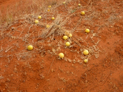
Gary, the guy who drives in front of us on his quad bike to point out where we can park the bus knows the answer on the yellow balls: paddy melons (like in paddock). They are apparently quite bitter and no one eats them. When we look closer (and not zooming past) we can indeed see that they just grow along the side of the road.

20120819-204000.jpg
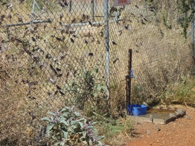
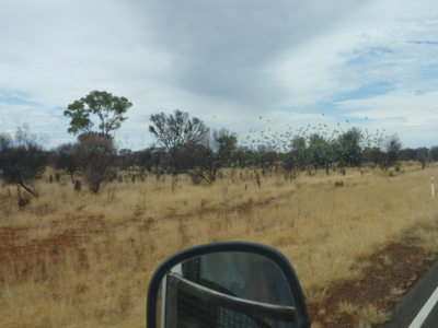
Since turning onto the Stuart Highway we have seen flocks of the little birds that we photographed while drinking water at a rest area.
20120815-083006.jpg
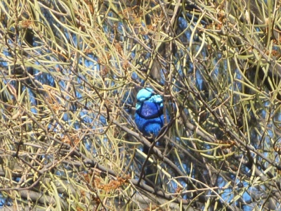
These birds are tiny and fly in flocks and – somewhat like dolphins accompanying a boat – these birds weave and dive in formation around the car. A beautiful sight. We have seen them in green, but now we’re seated at the Gemstone park a little blue bird seems courageous to come within photo distance.

20120819-155339.jpg

20120818-143845.jpg
Instead of taking fuel ($2.25 per liter), and getting a bucket of stone that might or might not contain gems ($30) we decide to take a shower, let the dogs walk themselves, order fish and chips and settle in for the night.

20120819-161302.jpg

That morning we have the first day where the sky is not completely blue. There’s overcast and it is bitterly cold (17 celcius). We decide to do fossicking on the Dutch. Meaning we drive down the area where they find gemstones (near the mudtank) and look around for pretty stones. After half an hour Marjo has a few pretty ones and we say goodbye to Gemstone.

20120819-154925.jpg

20120819-154935.jpg

Posted from Anmatjere, Northern Territory, Australia.

August 16, 2012

Devil’s Marbles

Our next stop is going to be Devil’s Marbles, a collection of boulders best seen in sunset or sunrise. It is apparently a busy camping surrounded by the boulders and you’re advised to arrive early. It being 320 km from Barkly’s, we decide to leave early. So at 8.30 we’re on the road, heading west first and encounter a nice farewell from Barkly’s.
20120818-134040.jpg

There’s 200 km of the same type of scenery and road, so not much to tell apart from every once in a while we see yellow balls along the side of the road. No idea what it is?
Then we get the option to either take fuel at the Three Way point or continue to Tennant Creek. We decide that we’re brave with our tank size and continue. That decision in the end saved us $0.25 per liter as diesel at the roadhouse is $1.93 and the BP in Tennant Creek charges $1.68 which is still about $0.20 cents higher than the bigger cities. Hey, remember, I still have Dutch character flaws and love a ‘bargain’.

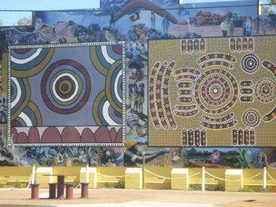
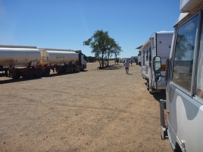
We stop in town to stretch the legs and make a coffee but decide to move on soon again. There is no nice spot to stop, fields are bare or burnt with broken glass and chicken bones. It seems that there are several aboriginal communities around town and by the tone of the graffiti there’s not a lot of harmony between aborigines and others. The only thing to remember town by is a life size aboriginal mural.
20120818-134131.jpg
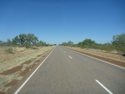
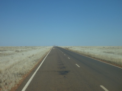
So we make a cuppa and move on, south this time. The road here is endless too.
20120818-134252.jpg
I have to make an adjustment of my view of Northern Terrestrials. Not everyone is smarter. The cows for instance seem to be the only road kill and none of them recent. All we see is hides with some bones and no bird seems interested. Also, where in Queensland there are cattle grids (metal vertical bars too wide for animals to cross) in the road every couple of 100 km’s or so with fence on either side to keep cattle within the property. This is well sign posted. In Northern Territory they seem to have the same signs and fences but instead the cows are tricked by just painting white lines on the road instead of the metal grid. I have no idea if the cows fall for it but it is definitely more friendly for the traffic.

The road provides a bit more variety and the red mountain ridge is mesmerizing. Not sure that shows the same in a picture though.
20120818-134457.jpg

20120818-134519.jpg
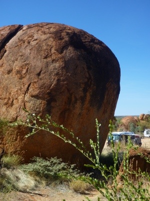
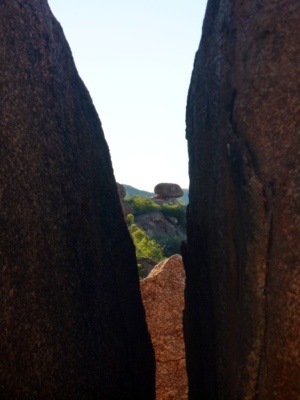
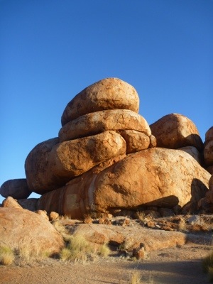
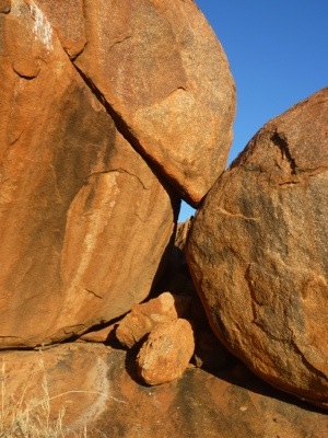
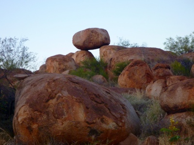
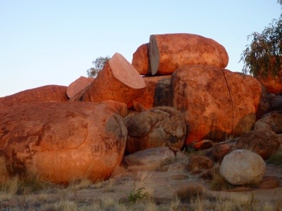
Then we arrive at the Devil’s Marbles turnoff, it’s a mighty sight, these massive red boulders. apparently they are marble that over thousands of years are broken off from a marble layer of rock after small cracks occurred from the hot sun during the day and the cold at night, then water seeped in and split the rock. Then erosion rounded off the broken parts and boulders remained. The red is really just engrained dust as broken off bits are grey inside.

20120818-135348.jpg
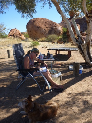
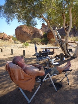
We arrived early, so had time for a walk, for some art (Marjo had enough inspiration here) and some maintenance (re-attaching the magnets to the aluminium frame of the fly screens). I might have dozed for a bit.

20120819-154436.jpg
20120818-134619.jpg
Then we did a walk and saw the marbles up close, they get more enchanting the later it gets with the sun turning red.

20120818-135426.jpg

20120818-135431.jpg

20120818-135443.jpg

20120818-135451.jpg

20120818-135500.jpg

20120818-135812.jpg

20120818-135821.jpg
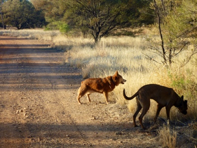
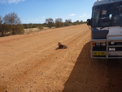
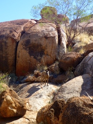
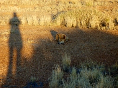
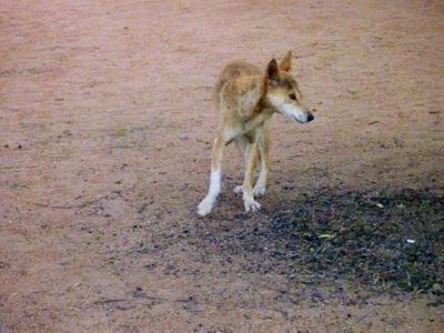
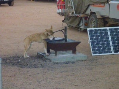
Then we suddenly see many Dotti’s! Oh no, there are dingo’s here and they are not shy!

20120818-135553.jpg

20120818-135605.jpg
It shows that these dingo’s are well used to campers and come very close to look for food.

20120818-135600.jpg
We talk to a late twenties camping party of three from the UK traveling in a small car about their trip and they are in a hurry to get on, want to do Darwin in a day and then move on. Darwin is about 800 km from here but good luck to them.
We also learn from Peter who travels alone in a 4WD ute and sleeps on the top (lucky for him he’s only 5 foot so he can fit. For me it would be claustrophoby galore. The principle of just one 4WD vehicle has merits though. Food for thought.
He also recommends Darwin on Thursday (there are beach markets) and otherwise don’t bother with it. Litchfield, which we’re planning to do after we have returned back up north. And finally take the Tunnel Creek road between the Savannah Way and Deep River road. Keep tuned for a later post on that one.

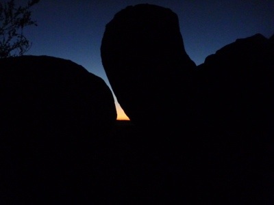
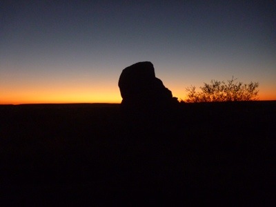
If we are able to get up early enough, you’ll find marbles at sunrise as well below 🙂

20120818-135722.jpg

20120818-135732.jpg

20120818-135739.jpg

Posted from Davenport, Northern Territory, Australia.

August 15, 2012

Barkly Homestead

Well luckily Marjo corrected me or this post was called Burke’s Roadhouse. I have a problem with names I guess. For the ones under you noticing, this is our first post from Northern Territory. On 14 August, 12.45 pm with 301,550 km on the odometer we crossed the border between Queensland and Northern Territory.

I hear you asking: “so, what is different?” and we kept track for just such a question:

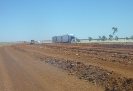
– Northern Terrestials (or whatever they’re called) do a proper job of roadwork. No guy with a bucket of tar filling potholes like in Queensland, but serious road replacement.

20120815-082902.jpg

20120815-082908.jpg

20120815-082925.jpg
– in NT they actually care for tourists with proper roadside stops and water that people and birds enjoy
20120815-083006.jpg
– in NT they’re way smarter than QLD, well at least the animals as during the past 250 km we have seen NO dead animal on the side of the road. The downside is that it becomes a bit more boring, with no distractions and only the straight road and every 30 km the only human structure is a repeat transmission tower from Telstra. Otherwise dead grass, some shrubs and the odd tree.

Then we arrive at the only food, drink, fuel and sleep place for 500 km (250 km either way) on this road. We saw one house that said “sorry no fuel” and a few signs (one who pathetically tried to outdo others and called itself “Austral Downs Station” and a new couple of “Plains”. So if you want to be hip then for your next house sign you can choose between “station”, “downs” and “plains”.

The campsite is quite big with a lot of unpowered options which, as you know by now, has our preference. Sometimes it’s nice to have the facilities for a shower and….tomorrow it being Marjo’s birthday, I can see dining out coming up and then it’s handy to have a homestead within reach 😉

Marjo is feeling a bit under the weather with stuffed nose from all the dust and bushfire smoke along the way, and after just haven driven 1800 km in 6 days we deserve a break. So we decide to take it slow. Marjo gets breakfast in bed and even stays there to have her once-a-year after-breakfast smoke in bed. Despite feeling a bit under the weather she is glowing.

When I come outside a young Dutch couple that camped next to us took care of decoration and even left a present. So nice!

20120815-194450.jpg

20120815-194456.jpg
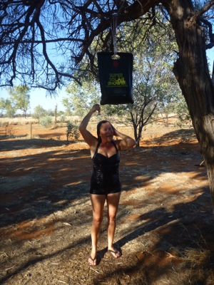
Then it’s unwrapping of the gifts, a pan to cook over a wood fire, a shawl, some books: termites, Northern Territory camping and understanding Aboriginal art and a black-bag shower (fill it with creek or other water, lie in the sun for an hour or two, et voila, a hot shower).

20120815-194244.jpg
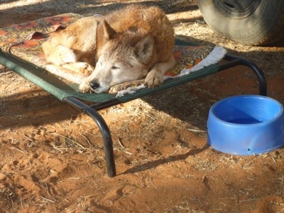
Also Dotti had to test the working of the shower, and needed a nap after that!

20120815-194314.jpg
Then it’s time for coffee with cake.

20120815-194348.jpg
The rest of the day is taken by
– changing our bedside planks so the bus can accommodate springbed mattresses (the foam mattress started to sag) and now we can put in two instead of one. The only thing we now need to find is a place selling them…..perhaps Alice Springs or otherwise Darwin.
– changing some of the clothes from cold to warmer
– hand washing of some of the dirtier clothes
– a walk with the dogs where Marjo spots some nice birds.

20120815-194938.jpg

20120815-195034.jpg
Then at dinner time I take care of dinner. The homestead bends the rules for a birthday girl and gives takeaway fish for Marjo and Schnitzel for Axel and throws in a piece of chocolate cake with a mini candle.

20120815-194420.jpg
We pack up that evening so we can leave early for the route towards Uluru (Ayers Rock).

August 13, 2012

Camooweal

Soon we leave the Burke Developmental Road and arrive on the Barkly Highway (or Overlander Way) from Townsville to the Stuart Highway. We stop in Cloncurry, a small town, for groceries, sending a photo backup to Joran and to fill up with water. The shops have not much and we decide to stop in The next town.

Soon we leave for Mount Isa, which is much bigger and can surely help us. We now pass more hilly country.

20120814-195553.jpg

Then we come to the big smoke.

20120814-195616.jpg

Mount Isa is the biggest mine place in Queensland and the mine is very prominent with a massive 200+ meter smokestack and impressive machinery and hills of whatever they dug up.

20120815-081722.jpg
We stop for the remaining groceries and find that most supermarkets are half empty; the Super IGA because it is about to be closed permanently, the Woolworths because there was just the annual rodeo with thousands of visitors. Luckily for us there was a Dutch section and we could stock up on Speculaas (so yummie with peanut butter on bread). We haven’t seen a Dutch section in any grocery store since Sydney, so our day is made!

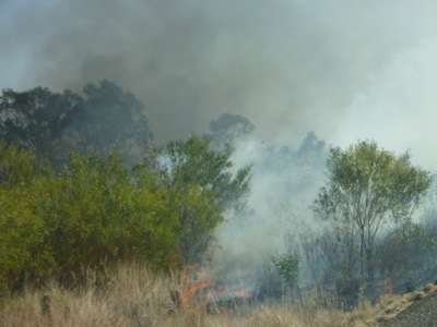
We first wanted to camp in town but the place is just not very nice. So we decide to move on to a WW2 airfield (hopefully abandoned) to free camp. We drive on and see clouds in the air. We think more mining as there are mines galore, west of Mount Isa. But soon it becomes clear that the smoke is widespread and it smells, looks (not feels) like bushfire. We stop at the WW2 airfield site which, apart from sticky flies, is quite nice. We discuss whether, with the wind going west and the smoke being west it would be safe to camp there. We ring Queensland Road and Traffic who say “We know nothing”, Mount Isa information who are blight fully unaware and say “inform your local police”, the police who say: “if you feel safe camp there and if you don’t feel safe: move on.” Meanwhile no one has inquired about the now very widespread bushfire. I suggest to the police that they should attend to the fire and the lady agrees and connects to the fire brigade. It now becomes more serious and she gives me the third degree and wants to know who I am, where I live, where we are, if we can see the flames, etc.

20120814-201029.jpg
We decide that we don’t like the flies and won’t sleep well with fire growing and move on so close to us. About two kilometers along the road it becomes clear that the fire is traveling against the wind?!? towards the east and would have reached the WW2 airfield campsite later that afternoon. We would have been crisper than bacon and possibly not been able to write about it in this blog.

20120814-201106.jpg
It is also clear that this fire has been going for quite some time with tens of kilometers of bush on either side of the road burnt black. And no one in sight. Weird fire control do Queenslanders have.

About 130 km further and at about 6 pm we pull into Camooweal, a – by now – sleepy town with all shops and petrol station closed. We cross the bridge and turn off down some dirt road. There we camp, very nice actually, private and with bushes.

20120815-082401.jpg

We light a well controlled and monitored campfire and settle in for the night.

20120815-082336.jpg

In the morning Marjo goes for a walk along the river and spots some birds. Meanwhile Nossi finds this an opportunity to do zoomies too.

20120815-082732.jpg

20120815-082741.jpg

20120815-082748.jpg

20120815-085030.jpg

20120815-085037.jpg

Posted from Camooweal, Queensland, Australia.

August 12, 2012

Terry Smith Lookout

It being Sunday, we thought we do the right thing and sleep in so when we open the door at 8.30 am after breakfast and washing we find that we are the only ones left on the campsite. So leisurely we feed the dogs, take them for a walk, pack up, empty the cassette, empty the spare fuel in the tank and by 9.30 we’re on the road.

It seems that people here feel they need something more than other citizens. Between Evelyn and Normanton everyone living along the long and lonely road has not a normal house but they have a “station” and their own roadsign announcing their station such as Forsayth Station which lies anywhere between 5 and 245 kms from the main road. Along the Burke Developmental road people think stations are for trains so they start calling their properties “downs” as in Gregory Downs. I wonder what will be next.

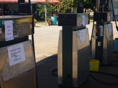
Our first priority is to get to Bruce Willis and fill up the tank and spare and continue our trip. When we arrive there at 11 am we feel not very happy. All the tanks carry a message “Sorry no diesel” and many people mill around.
20120813-212604.jpg
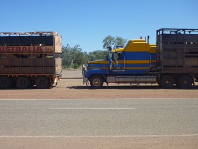
Upon inquiry it seems that the refill truck broke down yesterday with three trailers full with fuel. The next one was due at 12 that day, so we wait. We take pictures of some road trains that hook up.
20120813-212327.jpg20120813-212334.jpg
Of Nossi having enough and wanting to drive off and Marjo stopping him.
20120813-212426.jpg20120813-212437.jpg
Of some Happy Jack birds in a tree.
20120813-212525.jpg
Finally at 2 pm the refill truck pulls in under load cheer.

20120813-212649.jpg
We drive off and have time to smell the roses (well see the now more green landscape).

20120813-212844.jpg

20120813-212849.jpg
Then we move on towards the next stop. This time an even nicer roadside stop where we make camp, see the sun set and light a fire.

20120813-215813.jpg

20120813-215752.jpg

20120813-215758.jpg

Posted from Three Rivers, Queensland, Australia.