
Camooweal
Soon we leave the Burke Developmental Road and arrive on the Barkly Highway (or Overlander Way) from Townsville to the Stuart Highway. We stop in Cloncurry, a small town, for groceries, sending a photo backup to Joran and to fill up with water. The shops have not much and we decide to stop in The next town.
Soon we leave for Mount Isa, which is much bigger and can surely help us. We now pass more hilly country.

Then we come to the big smoke.

Mount Isa is the biggest mine place in Queensland and the mine is very prominent with a massive 200+ meter smokestack and impressive machinery and hills of whatever they dug up.

We stop for the remaining groceries and find that most supermarkets are half empty; the Super IGA because it is about to be closed permanently, the Woolworths because there was just the annual rodeo with thousands of visitors. Luckily for us there was a Dutch section and we could stock up on Speculaas (so yummie with peanut butter on bread). We haven’t seen a Dutch section in any grocery store since Sydney, so our day is made!
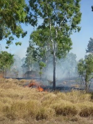
We first wanted to camp in town but the place is just not very nice. So we decide to move on to a WW2 airfield (hopefully abandoned) to free camp. We drive on and see clouds in the air. We think more mining as there are mines galore, west of Mount Isa. But soon it becomes clear that the smoke is widespread and it smells, looks (not feels) like bushfire. We stop at the WW2 airfield site which, apart from sticky flies, is quite nice. We discuss whether, with the wind going west and the smoke being west it would be safe to camp there. We ring Queensland Road and Traffic who say “We know nothing”, Mount Isa information who are blight fully unaware and say “inform your local police”, the police who say: “if you feel safe camp there and if you don’t feel safe: move on.” Meanwhile no one has inquired about the now very widespread bushfire. I suggest to the police that they should attend to the fire and the lady agrees and connects to the fire brigade. It now becomes more serious and she gives me the third degree and wants to know who I am, where I live, where we are, if we can see the flames, etc.

We decide that we don’t like the flies and won’t sleep well with fire growing and move on so close to us. About two kilometers along the road it becomes clear that the fire is traveling against the wind?!? towards the east and would have reached the WW2 airfield campsite later that afternoon. We would have been crisper than bacon and possibly not been able to write about it in this blog.
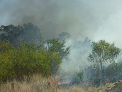
It is also clear that this fire has been going for quite some time with tens of kilometers of bush on either side of the road burnt black. And no one in sight. Weird fire control do Queenslanders have.
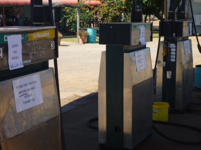
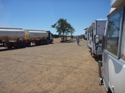
About 130 km further and at about 6 pm we pull into Camooweal, a – by now – sleepy town with all shops and petrol station closed. We cross the bridge and turn off down some dirt road. There we camp, very nice actually, private and with bushes.

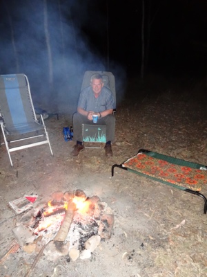
We light a well controlled and monitored campfire and settle in for the night.

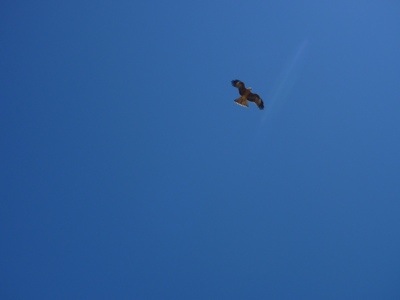
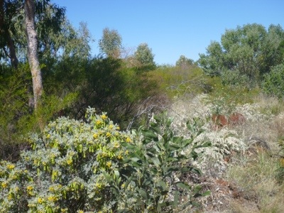
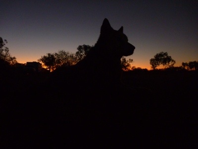
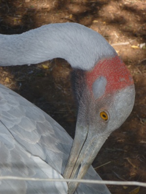
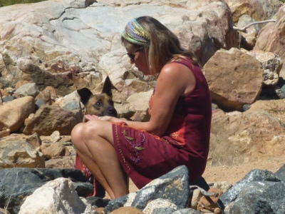
In the morning Marjo goes for a walk along the river and spots some birds. Meanwhile Nossi finds this an opportunity to do zoomies too.
























Recent Comments